mapping the unseen
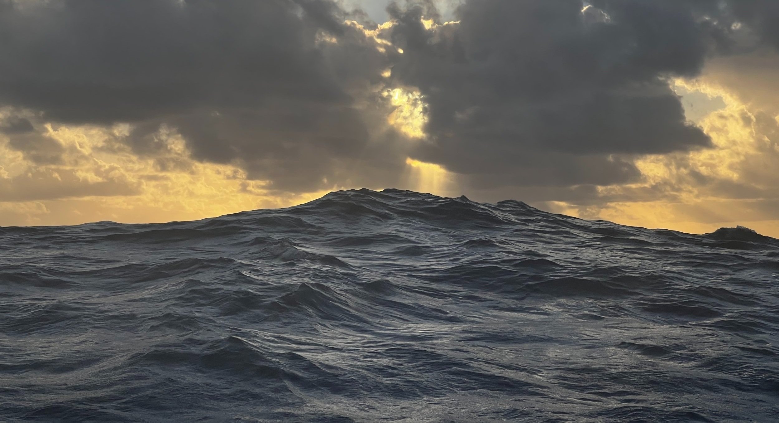
mariners are drawn to wide blue horizons,
and landlubbers fear the vast expanse.
both know the bottom is not their friend.
Ultra Marine channels a visceral fascination with the foreign world of the seafloor, and rewrites nautical mapping tradition using advanced technology.
Hydrographic mapping is as old as maritime navigation. Ancient seafarers sketched primitive maps of coastlines and water bodies. During the Age of Exploration, sailors ventured into uncharted waters, and understanding the seafloor's contours became paramount. The Dutch used the peillood, a lead weighted line hurled repeatedly overboard to measure depth and establish routes of clear passage for sailing ships.
This tradition of depth sounding has been surpassed by multibeam sonar and satellite sensing techniques, but modern charts contain just the minimum information required for safe passage. The true mystery of the deep remains.
Bypassing human cartographic intervention, Ultra Marine uses modern digital techniques to physically present the sculpted seabed in ways familiar yet mystifying to old salts and landsmen alike.

